
Ross Township Neighbors by Parcel
A Ross Township neighbor search has several separate layers. County GIS establishes where parcels sit. The Real Estate Portal provides a property result for a particular address or Parcel ID. Recorded documents connect a lot to a legal transfer. Public community pages can describe a civic group without supplying members. State voter products have defined fields and statutory limits. Keeping those sources separate is the best way to avoid turning a map relationship into a claim about a household.
| Block source | What it can show near an address | Ross access boundary |
|---|---|---|
| County AddressPoints and parcel layers | Recognized address, Parcel ID, ZIP and municipal context, plus parcel geometry. | Public map and data tools; no owner, mailing, or occupant fields in those layers. |
| Allegheny GIS Viewer | Address search, parcel display, layers, measurements, printing, and map context. | Public viewer; its map result is not title or residency evidence. |
| Real Estate Portal | Property result for a selected address or Parcel ID, including an owner result string. | Free address and parcel modes. Free owner-name searching is not offered. |
| Recorded deeds and plans | Transfer parties, legal description, lot, block, or subdivision context. | Division of Real Estate search, copy, mail, or counter channels. |
| State voter-list products | Defined public voter information when lawfully requested. | Department of State form and use certification; not an open block browser. |
| Civic-association pages | Public organization and contact context for an area. | No verified Ross member directory and no proof of individual participation. |
Use these records to answer a specific property or block question. The map can establish adjacency. The property system can identify an owner record. Neither result shows all people at an address, and neither should be read as an invitation to contact someone.
Map Ross Township Neighbors with GIS
The county's adjacent-parcel method is a map workflow. Start with the focal address, then capture the surrounding parcel identifiers before consulting a property record. Allegheny County describes its GIS Viewer as supporting address search, pan and zoom, layers, parcel display, measurement, printing, and basemap controls. The research did not verify a special neighbor button or a live radius tool, so the defensible method is to identify nearby geometry manually.
- Enter the focal address in the Allegheny County Address Search or county geocoder, then note the matched address, municipality, and Parcel ID.
- Open the Allegheny County GIS entry page, locate the address, and use the parcel layer to identify lots that touch or directly surround it.
- Record only each neighboring Parcel ID and its map relationship. Then use the Real Estate Portal to look up a chosen parcel or address when an ownership question is legitimate.
- For a whole named road rather than the immediate block, use the Ross Township street directory and its address-to-deed workflow.
Parcel geometry is evidence about land. A legal description in a recorded instrument identifies the land more precisely. An owner mailing record, when one is visible in an official record, can differ from the situs address and still does not show who is at the property on a given day.
Note: Save a dated map view and each Parcel ID before comparing property records, because map layers and assessment records can update separately.
Ross Township Address Points Set Block Limits
County Address Management maintains the property-address dataset used for 911, assessment, and real-estate systems. Its AddressPoints data distinguishes full address, number components, street name and type, unit or floor, municipality, ZIP and ZIP+4, Parcel ID, and source-status fields. That makes it valuable when a street label is incomplete or an old record uses a different form. The layer is geographic data. It has no owner, mailing-address, household, or person field.
Ross Township, not the county or USPS, has authority to assign or correct an address. County Address Management handles the countywide dataset and provides address review links, while Ross Community Development is the local contact for the municipal decision. If an old document conflicts with a current number, preserve the old label, compare the parcel and legal description, then ask the proper custodian about an address correction or history. Do not assume a postal city label defines the township boundary.
County address data also includes street dictionary and street-alias material. Those tools can help retain a historic road spelling before a record search, but they do not turn a road into a list of Ross Township neighbors.
Ross Township Neighbors and Civic Context
Ross Township's Resident Resources page says some subdivision associations maintain drainage ditches and detention facilities. It does not identify association members or publish a member directory. That is an important boundary. A community group may be useful for an infrastructure question, yet its public page does not establish that a given person belongs to the group or lives on a particular block.
North Hills Estates Civic Association
Its public page describes a Ross Ward 3 civic association founded in 1929 and serving about 518 homes. The published contact is nheca@nheca.org. It is self-published community context, not a government roster.
McKnight Village Civic Association
Its public site provides calendar, news, and membership information, with a PO Box in Pittsburgh. It is not an official township directory, and no member list was verified in this research.
North Hills Estates Civic Association's public community page is shown below. It can help identify civic context around a Ross Township block without making a claim about individual neighbors.
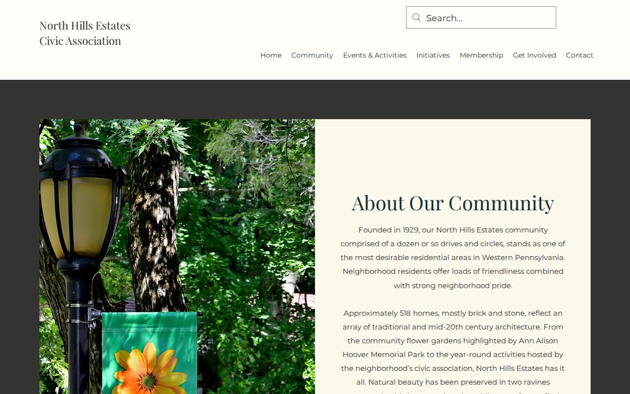
Use a public group contact only for the group’s stated purpose. Membership, participation, and address information remain unverified unless the organization itself supplies an appropriate official channel.
Ross Township Resident Resources is also shown below. Its drainage and detention guidance explains why subdivision references may appear in a property question without creating a searchable neighbor list.
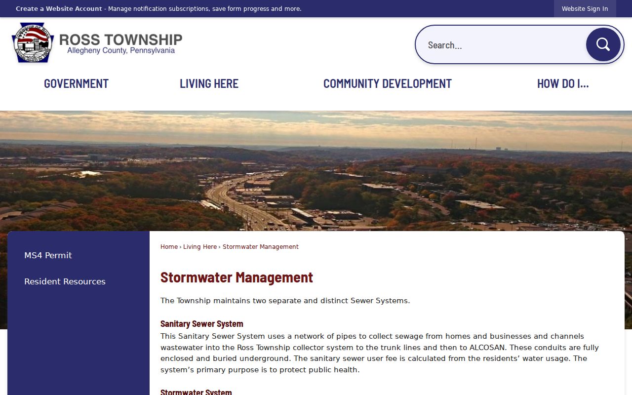
The Township page supports a limited infrastructure context. It does not supply association names, household records, or a list of Ross Township neighbors.
Ross Township Neighbors and Voter Products
Pennsylvania separates an individual registration-status tool from county voter-list products. The individual route is for a person checking their own status and should not be treated as a street search. The Department of State request form instead identifies a Public Information List, Street List, Walking List, and Full Voter Export. A Street List has defined fields including name, residential address, mailing address, party, and active or inactive status. Access requires the Department’s form and the statutory use certification.
Ross Township must be requested as part of Allegheny County. The form cites 25 Pa.C.S. §§ 1403(c), 1404(b)(1), and related regulations. It also makes clear that voter participation history is not a record of how anyone voted. Protected voters and Address Confidentiality Program participants may have additional protections. A street list is not a general-purpose way to compile an address book for a block.
| Official source | Commercial compiling category |
|---|---|
| Names a custodian, defined fields, access route, record date, and legal limits. | May mix older or unverified data and does not replace the county or state record. |
| Use a map, parcel, voter, or deed record only for its stated purpose. | Do not use a compiled profile to defeat a protected address or resolve a conflict without checking the custodian. |
For an election-record question, begin with the official voter-list request instructions or contact Allegheny County Elections and Voter Registration. The appropriate route depends on the narrow record and permitted use.
Ross Township Neighbor Names Aid Research
Locality names can help a map or archive search without defining a block. Ross Township’s official fire-category resource lists Berkeley Hills, Evergreen, Fairview, Keating, Laurel Gardens, Perrysville, Quaill, and Seville. Northland’s local-history material can then help match a name to a historic photograph, plat, road record, or archival keyword. These names are not legal neighborhoods, postal zones, association rosters, or evidence of present residency.
Ross Township's fire-category resource directory is the source shown below. It provides service-community labels that can narrow a records search while leaving property and person questions to the proper county or township source.
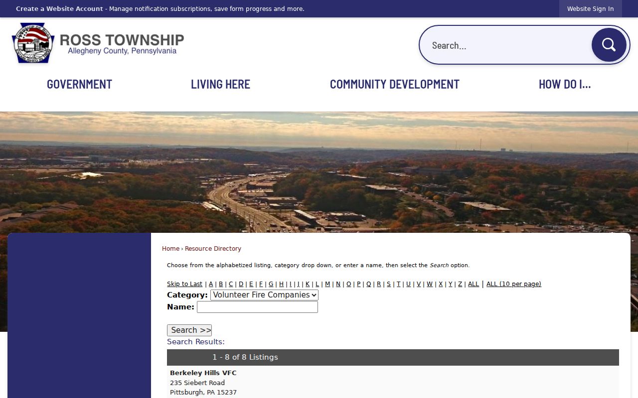
When a historical source uses one of these names, compare it with a dated map and an exact address or parcel. A familiar locality label alone cannot establish a boundary or identify a household.
Ross Township Neighbor Lookup Privacy
Some block information is not public resident-directory material. GIS layers do not contain household or mailing information. The parcel and owner record does not establish every person at a property. Utility and delivery-account data are not public block records. Court, vital, juvenile, adoption, protected-voter, and other restricted records have their own access rules. An absent result also does not prove that a person never had a connection to the address.
Lawful use. Ross Township neighbor research is limited to personal, civic, family, safety, and property-record questions. Do not use any map, parcel, voter, or public record to watch, stalk, harass, intimidate, or harm another person.
The Pennsylvania Address Confidentiality Program provides a substitute-address route for eligible participants. Its actual-address protections are not a gap to be worked around. If a record is redacted or unreleasable, the proper response is to use the responsible agency’s safety or correction process.
Ross Township Neighbor Records Require Care
Before relying on a block result, compare the address, Parcel ID, municipality, and record date. A map view is strongest for location. A recorded instrument is strongest for the land transfer it documents. A current assessment result is strongest for the fields it actually displays. Where they conflict, preserve both records and ask the agency that created the record for clarification. Ross Township handles municipal address authority, while the county maintains the shared address dataset and property systems.
For a correction or township-held record request, use the Ross Right-to-Know channel under the Pennsylvania Right-to-Know Law, Act 3 of 2008. A request should name the record type, address, date range, and desired format. The township says it responds in writing within five business days, subject to the law’s extensions and exemptions. That focused route is more reliable than making assumptions from a map alone.
Note: The immediate block can be mapped accurately without treating adjacency as a personal profile or an invitation to pursue private details.