
Ross Township ZIP Coverage
County AddressPoints data identifies eight postal ZIP codes attached to address points whose municipality is Ross Township. These are address-point counts, not counts of people, households, voters, or postal deliveries. The county query is the most precise local starting point because it connects a ZIP to an actual address and municipality record. Every one of the eight polygons is classified as non-unique, so no row below should be read as a township-only delivery area or an exclusive postal claim.
| ZIP | Ross address points | County postal locality | Ross verification note |
|---|---|---|---|
| 15101 | 4 | Allison Park | Boundary-edge addresses on Dolphin Drive only |
| 15116 | 345 | Glenshaw | Postal locality and township are separate systems |
| 15202 | 648 | Pittsburgh | Confirm the municipality at the address level |
| 15209 | 314 | Pittsburgh | Confirm the municipality at the address level |
| 15212 | 134 | Pittsburgh | Confirm the municipality at the address level |
| 15214 | 1,133 | Pittsburgh | Confirm the municipality at the address level |
| 15229 | 4,011 | Pittsburgh | Confirm the municipality at the address level |
| 15237 | 10,778 | Pittsburgh | Largest documented Ross address-point count, not a Ross-only ZIP |
The official Allegheny County ZIP polygon layer is the source captured in the Ross Township ZIP code directory image below. It provides a postal-geography view, while the address point and municipality fields are needed for a particular address.
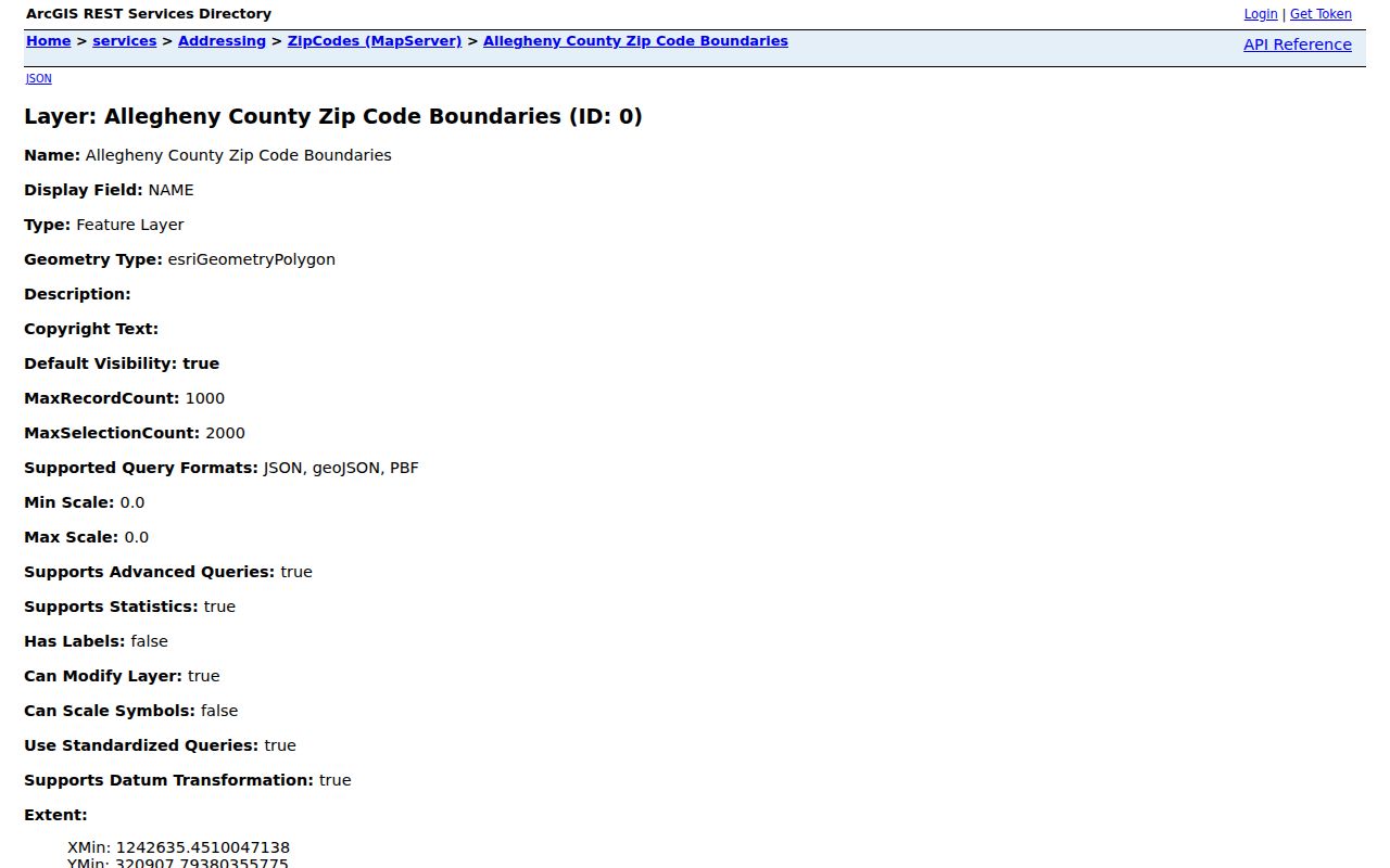
The layer supports a boundary check, but it cannot determine who owns or occupies any address.
Ross Township ZIP Postal Boundaries
Ross Township is a municipality. A ZIP code is a USPS delivery geography. The two overlap but do not coincide. A Pittsburgh postal label can still identify a Ross address, and an Allison Park or Glenshaw label needs the same municipal check. The county shows four Ross address points in 15101, specifically on Dolphin Drive. That small edge does not make all 15101 mail part of the township. In the same way, the large 15237 count does not turn the entire ZIP into Ross Township.
For an exact postal pairing, use the USPS Location Finder and enter the delivery address. Allison Park, Glenshaw, West View, and McKnight are the relevant facilities named in the research. USPS can verify postal facilities and address delivery information. It is not the authority that assigns Ross municipal addresses or certifies township jurisdiction.
The official USPS entry point appears in this Ross Township ZIP code directory image. Pair that result with the county municipality field before making a jurisdiction call.
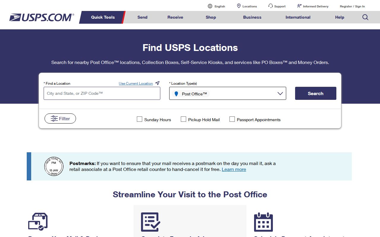
A postal facility result is useful for mail questions, while the county and Ross records resolve parcel and municipal questions.
Ross Township ZIP Address Search
The county geocoder is the practical ZIP-aware search tool for one address. Its Address Search experience accepts a full address or a street or intersection with city or place, state, and optional ZIP. The optional postal field narrows a single match. It does not create a ZIP-wide resident list. A matched result supplies location data that can then be compared with the county property and municipal records.
| County geocoder field | How Ross ZIP research uses it |
|---|---|
| Full address | Tests one complete address against the countywide address dataset. |
| Street or intersection | Helps when the house number is unknown or a road label needs checking. |
| City or place | Adds local context to a common street name. |
| State | Confirms the Pennsylvania search area. |
| ZIP | Optional disambiguation input for an individual address, not a bulk people filter. |
| Returned fields | Matched address, score, address number, side, ZIP, and coordinates. |
The related county AddressPoints layer stores full address, street components, unit or floor, municipality, county, state, ZIP, ZIP+4, parcel ID, and source/status fields. Those fields describe address geography. They have no occupant, owner, or mailing-address field.
Note: A high geocoder match score supports address matching, but it does not establish title, residency, or a municipal boundary decision.
Find Ross Township ZIP Records
A ZIP code can narrow an address question, but the Ross portals do not all use it in the same way. The county property portal has Address and Parcel Number modes only. Its address route uses house number, street name without a suffix, and an optional municipality selector. The GIS Viewer can provide map and parcel context. UJS allows ZIP in a parcel-related case search, which returns court cases associated with a parcel rather than ownership or a household. Pennsylvania voter-list products are formal county-level request products, not ZIP filters.
- Verify the delivery ZIP for the exact address through USPS, then compare it with the county address and municipality result.
- Use the county address-point query or geocoder to capture the matched address, ZIP, municipality, and parcel ID.
- Open the Allegheny County Real Estate Portal by address or parcel number. Select Ross Township when the street is shared with another municipality.
- Use the County GIS Viewer to inspect parcel placement and surrounding geography. Check a recorded instrument only when a legal land question remains.
Once the ZIP has narrowed the area to a named road, the Ross Township street directory follows the address-to-parcel process in more detail. A postal boundary alone never replaces that address-level work.
Ross Township ZIP Parcel Limits
The free property portal does not display a ZIP control, owner-name search, or date range on its inspected screen. A person-first search is not what the public property interface is built to do. The county’s paid service adds owner-name, legal-description, and additional tax searches, but a property record still identifies land and the owner information it carries, not a complete list of people at the address.
The Pennsylvania UJS case search has a parcel mode that can include address, city, state, ZIP, county, and municipality. It is useful only when a particular court case is linked to that parcel. The Department of State voter-list form provides countywide list products subject to a written lawful-use certification. It does not change the individual voter-status tool into a Ross ZIP browser.
Note: Geographic filters identify locations and records, not a certified roster of residents or a basis for contact with private people.
Ross Township ZIP Dolphin Edge
The 15101 result is Ross Township’s clearest postal edge case. County AddressPoints data places only four Ross points in that ZIP: 1830, 1834, 1836, and 1838 Dolphin Drive. The postal locality is Allison Park, but the small count is an address-level boundary finding, not a description of the wider community. It is a useful reminder to search the full address, municipality, and parcel rather than infer jurisdiction from the ZIP alone.
That local exception also shows why a broad ZIP query can mislead. The county ZIP polygon layer, USPS result, county geocoder, and property portal each describe a different part of the same address. A Ross Township ZIP code directory should preserve those differences instead of flattening them into a citywide postal map.
Ross Township ZIP Boundary Limits
Postal, situs, and legal-description geography can differ for the same property. The situs address is the physical location used by property systems. A mailing address may go elsewhere. The legal description is the land identifier used in deeds and is the control for a title-chain match. Use a postal label to verify delivery, then use the parcel and legal description for a county real-estate question.
- ZIP and ZIP+4
- A ZIP identifies a postal delivery area. ZIP+4 adds a more precise delivery segment and does not establish municipal jurisdiction.
- PO-box ZIP
- A postal code serving post-office boxes rather than a geographic street-delivery area. None of the eight county polygons were classified this way.
- Unique ZIP
- A postal code assigned to one organization or institution. None of the eight county polygons were classified as unique.
- Carrier route
- A delivery route used by postal operations. It is not a municipal boundary or a resident record.
Boundary check. A Pittsburgh postal label can be compatible with Ross Township, but only the address-level municipality and parcel records resolve the local jurisdiction.
Note: None of the eight Ross ZIP polygons is classified as a PO-box-only or unique postal ZIP in the county layer.
Ross Township ZIP Road Labels
Current ZIP codes are poor tools for historical address work. No authoritative source in the Ross research documents a historic ZIP split or realignment, so none should be inferred from a modern polygon. Northland’s records show a better route: compare historic road names, map plates, legal descriptions, and dated directories with the current address. Perry Plank Road became Perry Highway, and early records may be filed under Pitt Township, Westmoreland County, Allegheny County, Ross, West View, or a nearby postal locality.
Northland Public Library’s Ross history collection links an 1850 county map; Ross plates from 1876, 1886, 1897, 1906, and 1940; the 1914 atlas; and the 1950 Perrysville telephone directory. These are time-specific location sources, not proof that a modern ZIP existed at the earlier date. Preserve the historic label before deciding that it represents the same parcel.
Ross Township ZIP Address Corrections
Ross Township assigns or corrects local addresses. Allegheny County Address Management maintains the countywide 911 address dataset used by emergency services, property assessment, and real-estate offices. That division of responsibility matters when a ZIP, municipal label, or street number does not agree across sources. Start with the county’s Address Management guidance, then contact Ross Community Development for the local assignment or correction decision.
Ross Community Development is at 1000 Ross Municipal Drive, Pittsburgh, PA 15237, and its documented phone is 412-931-7048. County Address Management is at the County Office Building, 542 Forbes Avenue, sixth floor, Pittsburgh, PA 15219, phone 412-350-7606. The county distributes the common address data to property and real-estate systems, but it says only the local municipality can assign or correct an address. Keep the confirmation from both offices with a disputed record.
After a correction or review, recheck the county address point, Real Estate Portal, GIS display, and postal lookup as appropriate. A focused request identifies the address and the mismatch. It does not ask the government to create a new list of people for a ZIP code.