
Search Ross Township Streets by Address
Use a known civic address as the starting point. Ross Township does not publish a general household roster by road, and the County address data is geographic rather than personal. The useful chain is address to parcel, parcel to county property result, then parcel and legal description to recorded documents. Each stop narrows a different question. A parcel result can associate an owner string with the property, while a deed establishes parties to a transfer. Neither one alone establishes every person who may be present at an address.
- Enter the complete location in the County Address Search or use its street and place controls. Keep the matched address, municipality, ZIP, and parcel identifier.
- Open the same point in the Allegheny County GIS Viewer. Its parcel display places the address on the ground and lets you inspect adjacent geometry.
- Search the Allegheny County Real Estate Portal by address or parcel number. Record the result date and distinguish the listed owner from an occupant claim.
- For a transfer trail, take the parcel and legal description to the Division of Real Estate. Use its public land-record search, counter, mail, or copy channel when an online result is incomplete.
- Use the Pennsylvania voter Street List only through the Department of State request process and only for its authorized purpose. For a past address, use dated directories and maps instead of treating a current list as history.
That sequence gives the Ross Township street directory a defensible order. It also leaves room for an old road label, a subdivision plan, or a municipal permit to correct a mistaken shortcut.
Ross Township Street Address Points
Allegheny County Address Management maintains the countywide 911 address dataset used by emergency services, assessment, and real-estate systems. Its official geocoder accepts a single-line address or street/intersection with City or Place, State, and ZIP. A returned match can include the address, score, address number, side, ZIP, coordinates, and the parcel relationship. The address-points layer also carries street components, unit or floor where present, municipality, ZIP+4, parcel ID, source, status, and edit metadata.
Ross Township, not the county or USPS, assigns or corrects an address. That division is important when a current property result conflicts with an older record. Start with the County Address Management guidance, then ask Ross Community Development to resolve a municipal numbering or assignment question. Preserve historic spellings from the address layer or street-alias data before substituting a modern label.
The County Address Management source explains the countywide 911 data role and the Township's correction authority. It is useful when a searched street number fails to match a property record, because a geographic correction and a deed-history question follow different channels.
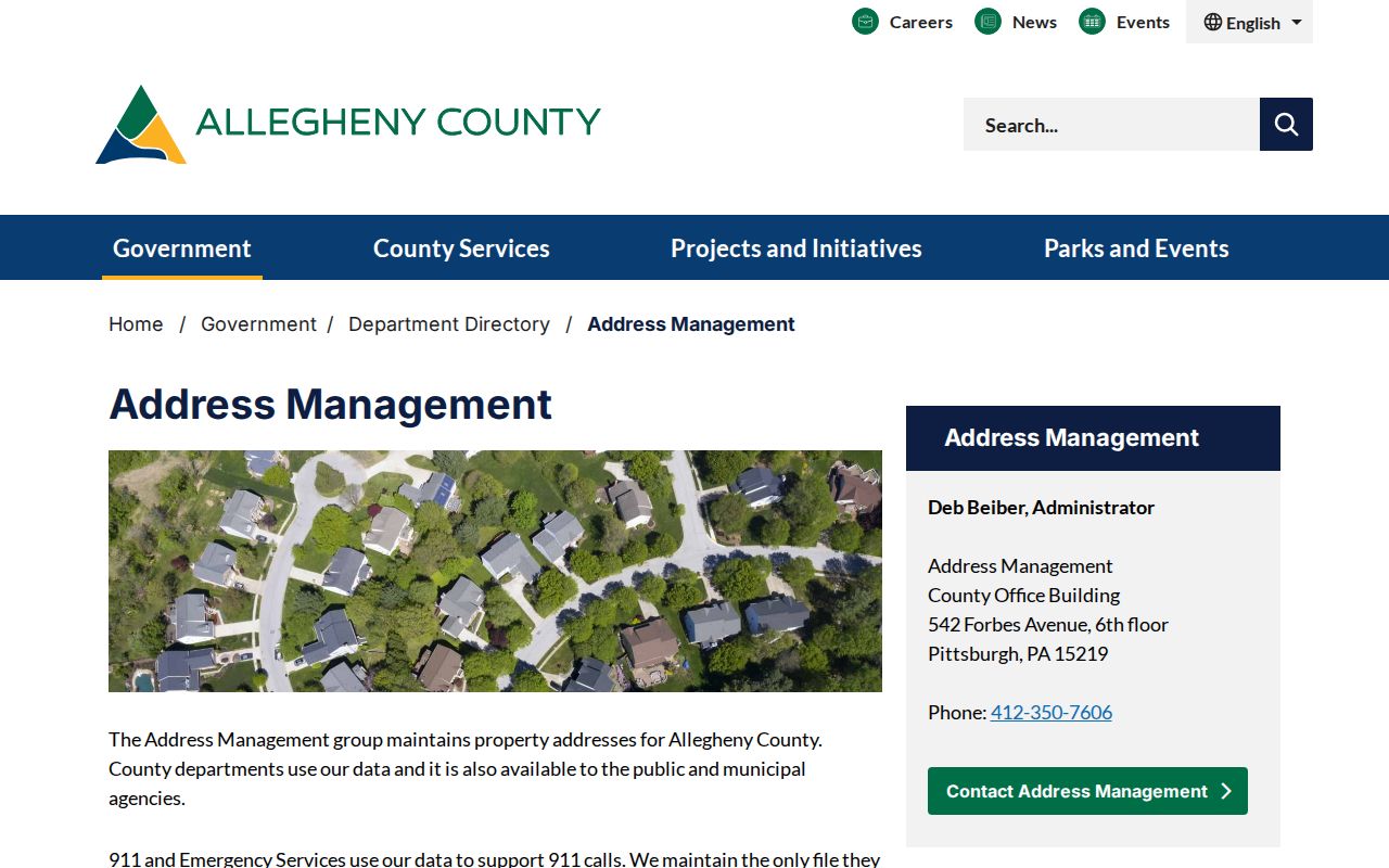
Use the address-management result to resolve the civic label first, then return to the parcel, deed, permit, or map source that answers the next question. This avoids following a similarly named road or a prior address label into the wrong record trail.
Note: An address-point match identifies recognized geography, not an owner, an occupant, or a complete list of people connected with the property.
Ross Township Street Directory Search Fields
The free Real Estate Portal is deliberately address-first. In address mode, it asks for House Number, Street Name, and an optional Municipality, then returns rows with Parcel ID, Owner Name, Address, and Municipality. Enter the street name without a suffix such as Street or Drive. Selecting Ross Township can reduce a broad result set. There is a separate Parcel Number mode, but no visible free owner-name, ZIP, or date-range search field.
| Portal field | Format | Use on a Ross street |
|---|---|---|
| House Number | Text, optional | Add the civic number when it is known. |
| Street Name | Text, required in address mode | Use the road name without its suffix. |
| Municipality | Optional dropdown | Select Ross Township to focus a common street name. |
| Parcel Number | Separate search mode | Use the County parcel identifier captured from a map or result. |
| Search | Button | Returns a paginated list of matching parcel rows. |
Owner-name searching, legal-description retrieval, and added tax information are subscription features. A person-first lookup is therefore not the free Ross Township street directory workflow. When an address is unavailable, ask the relevant county custodian which lawful record or paid service fits the narrow question rather than guessing from a name.
Ross Township Parcels Along a Street
The GIS Viewer is the map step, not the title record. County-described controls include address search, pan and zoom, parcel display, layer controls, measurement, printing, and basemap changes. Search the focal address, turn on the available parcel context, and use identify or navigation to see how lots meet a road. Record parcel IDs and the map date if a later deed or property search will depend on them.
The official GIS information page describes the public viewer and its parcel tools. The screenshot below is the County source for those functions. Map proximity is useful for understanding a block, but a boundary line is not proof of title, mailing address, or household membership.
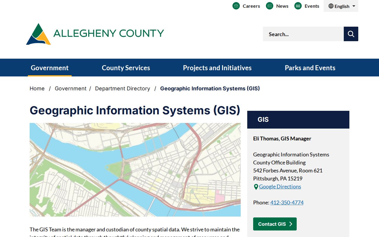
Use the GIS parcel view to carry the correct identifier into the property portal or deed request. Do not turn an adjacent parcel into a claim about who lives beside it.
Ross Township Street Directory Records
Address-keyed sources overlap, but they are not interchangeable. A street directory search is strongest when the result is described by source: address points establish the civic location, GIS maps its parcel geometry, the property portal reports assessment-side information, and recorded documents establish a transfer trail. Ross permit material can add a project date or property identifier. The State Street List has a narrower, statute-controlled role.
| Address record | Custodian | What it can establish | Access route |
|---|---|---|---|
| AddressPoints and geocoder | Allegheny County Address Management | Recognized address, municipality, ZIP, and parcel relationship | County web and data services |
| Parcel map | Allegheny GIS | Parcel geometry and spatial context | Public GIS Viewer |
| Assessment result | Office of Property Assessments | Parcel ID, listed owner string, situs address, and municipality | Free address or parcel search |
| Deed, mortgage, or plan | Division of Real Estate | Recorded parties, legal description, and instrument history | Public search, copies, mail, or counter |
| Permit or occupancy file | Ross Community Development | Address, parcel, project, and dated municipal work record | iWorQ or focused record request |
| State Street List | Pennsylvania Department of State | Defined election-list fields for Allegheny County | Certified written request |
A parcel is the bridge between these records. It is a County identifier for a mapped land unit. Keep it with the legal description when the goal is to trace transfers, because a street number can change while a legal description explains which land was conveyed.
Ross Township Permit Files by Address
Ross Community Development adds a local layer that County property systems do not replace. The Township uses iWorQ permit resources, and its residential application is keyed to property address, owner name, owner mailing address, parcel ID, zoning, ward, and project scope. Current building permits can be searched by permit number, permit date, parcel address, or applicant name. Zoning and pre-August 20, 2020 permit searches use separate result tables.
A permit describes a project, not a resident list. For an older file, request a particular address, period, and file type from Community Development at 1000 Ross Municipal Drive. The public portal notes that a legacy permit not found should be referred to the Township. That focused request is more likely to identify an issued file and allows the office to review drawings or contact details that may require redaction.
Ross Township Roads Before Modern Labels
Old Ross records may use a road name or jurisdiction that does not match a present address. The area was part of Pitt Township, Westmoreland County, before Allegheny County was created in 1788. Ross Township was named in 1809, and West View Borough formed in 1905. Perry Plank Road became the route now known as Perry Highway, while McKnight Road developed into a four-lane route in 1951. Those facts explain a label change without proving a townshipwide renumbering.
Northland Public Library links Ross map material from 1850 and atlas plates from 1876, 1886, 1897, 1906, 1914, and 1940. Compare the historic road spelling and lot context before deciding that it is the modern street. No verified source gives a Ross-wide street-renumbering year, so a careful street directory keeps the old wording verbatim until a map, plan, or legal description connects it.
Ross Township Street List Boundaries
Pennsylvania separates an individual registration-status check from a countywide voter-list product. The status route is for a person checking their own registration and is not a street browser. A formal Street List can contain defined voter information, but the Department of State request materials require selection of Allegheny County and a written use certification under the election code and regulations.
The State form describes the Street List as names, residential and mailing addresses, party, and active or inactive status. It does not reveal ballot choices. A Walking List omits mailing address, while other products have different fields. Confirm current rules with the official voter-list request instructions before ordering or using any product.
Note: A voter-list product has statutory limits and cannot convert a current election record into a complete Ross Township household history.
Ross Township Deeds Along Streets
The Division of Real Estate is where a property result becomes a title trail. Its public Advanced Search accepts party names, grantor, grantee, recorded-date range, document number, document type, book, page, full-document OCR text, and parcel ID. Enter the 14 to 17 digit parcel number without dashes when using that field. Historic Search is available, but County backscanning continues, so an online miss does not establish that no document exists.
- Parcel
- A County assessment and GIS identifier for a land unit. It connects the map and property result, but it is not the legal title by itself.
- Situs address
- The physical property location shown by an assessment record. It can differ from another address associated with a record.
- Plat or plan
- A recorded map or subdivision document that supplies lot, block, or boundary context for the legal description.
- Criss-cross directory
- An address-ordered historical directory, if a selected volume includes one. It can be a dated research aid, not a modern occupancy record.
At the counter, copies can be requested online, by mail, or in person through the Division. Ask which index book, image, or copy channel covers the desired period rather than assuming every historic deed image is online. For a dated household clue, the historical collections are treated separately on the Ross Township city directory page.
Ross Township Street Directory Limits
A Ross Township street directory cannot prove a complete household at each address. County address and parcel data do not carry occupant information. A listed property owner may use a different mailing address, and recorded documents identify transfer parties rather than day-to-day presence. Protected voter records, Pennsylvania Address Confidentiality Program substitute addresses, motor-vehicle records, utility accounts, and sealed court material remain outside an ordinary street search.
Lawful use. Use Ross street and property records for a focused, lawful purpose such as family history, an estate question, civic research, or confirming a record with its custodian. Pennsylvania law prohibits stalking and harassment, and protected addresses must not be pursued or republished.
When a record is redacted, missing, or uncertain, contact the office that holds it. A map result, an old directory entry, or an unreturned search does not justify filling the gap with a private-person claim.