
Ross Township Previous Residents by Era
Ross Township address history works best as a timeline. A current parcel gives the starting point, then recorded transfers connect the land to earlier parties. Northland material and county map plates help when an older record uses a road, tract, or municipal label that is no longer familiar. Dated directories and phonebooks can supply a household clue, while a census schedule can add family context. No one source proves every person who lived at an address, so the strongest result preserves the source, date, and the limited fact it actually supports.
| Address-history source | Dated range | Ross access route | Useful evidence |
|---|---|---|---|
| Real Estate Portal | Current certified and tax database | Allegheny County address or parcel search | Current parcel, situs address, municipality, and owner result string. |
| Recorded instruments | Exact online cutoff is not verified | Division of Real Estate Historic Search, copies, or counter | Transfer parties, legal description, plans, and recorded history. |
| Northland Ross material | 1786, 1820, 1823, 1919, and 1950 items | Northland Local History | Early land context, maps, and the Perrysville telephone directory. |
| Plat maps and atlases | 1850; 1876, 1886, 1897, 1906, 1914, and 1940 | Northland links and partner collections | Road geometry, tract context, and property-owner labels. |
| Regional directories and phonebooks | Directories 1813-1975; phonebooks 1880-present | Carnegie Library microfilm and Historic Pittsburgh | Dated regional name, telephone, and address clues. |
| Federal census | 1790-1950 released | Library and National Archives routes | Household composition near a directory date. |
For a recent question, start with the parcel and deed sequence. For an older house, first identify the tract or road on the closest map, then compare that label with a dated directory or census record. A permit may date physical work, but it is not proof that every named applicant or owner lived there.
Ross Township Parcels Start the Backward Trail
The free county property screen is an address and parcel tool, not a person-first directory. Enter the house number and street name without its suffix, select Ross Township when that helps, and save the returned Parcel ID, address, municipality, and owner result. A parcel is the county's geographic unit for the land. It gives the stable link between a modern street address and the legal description that appears in a deed.
The Allegheny County Land Records overview describes deeds, mortgages, subdivision plans, block and lot maps, historical plat maps, and property-history cards. It also confirms online, mail, and in-person copy channels. That matters when a webpage result is incomplete: a focused request with the parcel, names, approximate date, and document type is more useful than a broad request for everyone associated with a house.
The county land-records page is the source shown below. Its copy and historical-record guidance is a practical fallback when a Ross Township previous-residents search reaches a document that is not available online.
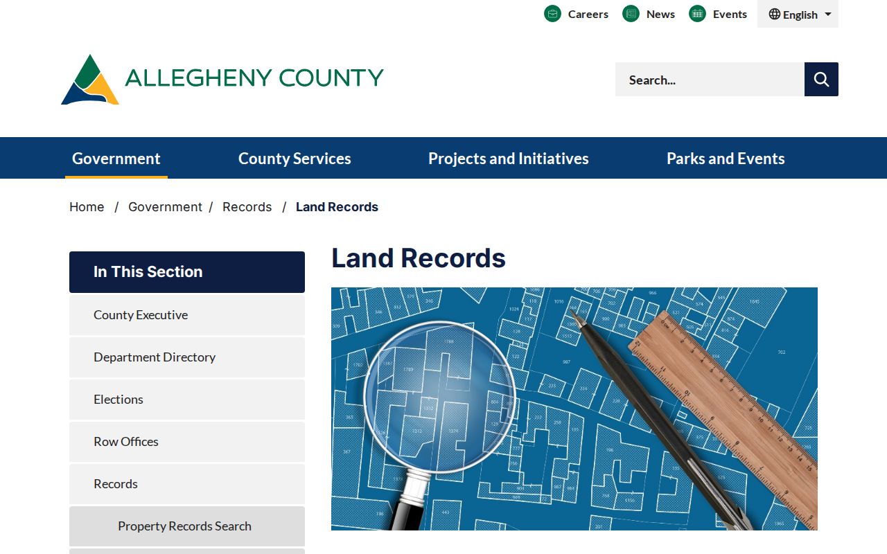
Use the page to confirm the appropriate county channel before ordering a copy. The county does not certify that every historic deed image or index entry is complete online, and backscanning continues.
Note: A county owner result identifies a property record relationship, not a complete list of past residents or household members.
Ross Township Previous Residents and Deeds
Deeds create the ownership portion of a Ross Township previous-residents trail. The current assessment result may show an owner and a link to a recording date, deed book, or page, but the county cautions that owner history is not complete. Use the Division of Real Estate record for the transfer itself. Its public Land Records portal has Quick Search, Advanced Search, and Historic Search options. Advanced Search accepts party names, grantor, grantee, recorded dates, document type, book, page, full-text phrase, and a parcel ID entered without dashes.
- Find the current parcel through the Real Estate Portal and record its Parcel ID, situs address, and any deed reference shown.
- Use the Division of Real Estate Advanced Search or a copy request to locate the current acquisition deed.
- Read the legal description and note the grantee, the party receiving the interest, and the grantor, the party transferring it.
- Find the earlier transfer in which that prior grantor acquired the same legal description, not merely a similar street address.
- Repeat the comparison through sales, estate transfers, corrections, plans, and subdivision changes. Ask the Division about index books or copies when the digital trail ends.
- Grantor and grantee
- The grantor transfers an interest in land. The grantee receives it. Their names identify the transfer parties, not every person at the address.
- Chain of title
- A sequence of recorded transfers for the same land. It must be checked against the legal description because a street number can change or cover more than one lot.
- Legal description
- The lot, block, plan, metes, or other formal land description in a record. It is the best safeguard against following the wrong Ross Township property.
Subdivision plans, lot consolidations, trusts, estate representatives, quitclaims, and corrective deeds can interrupt a simple name-to-name sequence. When the document is uncertain, record the question and ask the county custodian which copy or index channel covers it rather than assuming a missing online hit ends the chain.
Ross Township Land Records Before Digital Search
Allegheny County says its deeds date from 1789 and that Deed Index books are kept at the Division of Real Estate. County history material also identifies estate records from 1789 to the present and points to an Estates Index for 1788-1971 in Carnegie Library's Pennsylvania Room. Those dates make a useful fallback path for a Ross Township address whose online result stops short of the needed period. Historic Search is helpful, but active backscanning is not a promise that all volumes or images can be searched from home.
Northland's Ross material adds an earlier local layer. Its linked Mary Hubley 1786 land patent and the Davis, Crider, and Brooks instruments from 1820 and 1823 show how a present parcel's deeper history may be described through a tract, landowner, or road rather than a modern number. Treat those documents as land-history leads. They do not establish continuous occupancy of a present house.
The practical order is legal description, deed index, historic map, then a dated directory or census comparison. That sequence protects against a tempting but wrong match between an old road label and a current postal address.
Ross Township Maps Explain Address Changes
Ross Township's geography can make an old address look unfamiliar. The area was part of Pitt Township, Westmoreland County before Allegheny County was created in 1788, and Ross Township was named in 1809. West View formed in 1905. Northland also documents Perry Plank Road's evolution into Perry Highway, along with later changes in the road system. These are catalog and map clues, not evidence of a townshipwide renumbering.
Northland links an 1850 county map, Ross plates in the 1876, 1886, 1897, 1906, and 1940 G.M. Hopkins atlases, and a 1914 Warrantee Atlas plate. Compare the exact road, lot, owner label, and map date to the deed's legal description. Preserve the historic spelling in research notes. No verified source in this project supports assigning a single Ross street-renumbering year, so a changed number should be investigated rather than explained away.
These map years form an unusually useful address timeline. They can show when a road or tract label appears, but a plat label still needs a deed, directory, census, permit, or other dated record before it is treated as evidence about a household.
Ross Township Previous Residents in Directories
Past owners are only part of the picture. Northland has a 1950 Perrysville telephone directory and links Ross maps and historical documents. Historic Pittsburgh offers a regional digitized directory collection published from 1815 to 1945, with its FAQ describing online city-directory coverage from 1837 to 1930 with gaps. Carnegie Library offers a longer physical run of Pittsburgh City Directories and regional phonebooks. These sources are dated snapshots, so they are most useful when paired with the parcel and map work above.
- Choose a directory or phonebook near the ownership transfer or map date.
- Copy the spelling, address, and date exactly as printed, including a rural, Pittsburgh, or nearby-borough label.
- Compare the address with the closest Northland map plate and the parcel's legal description.
- Use the nearest released census through 1950 for household composition, then look at the next dated directory for persistence or change.
- For un-digitized years, ask Northland or Carnegie staff for the relevant volume rather than treating a web absence as proof of absence.
The holdings themselves are described in more depth on the Ross Township directory book. A telephone-book entry or city-directory listing is a strong time-specific clue, not a current certification and not a substitute for a primary property record.
The National Archives' 1930 city-directory guide identifies a 1931-32 Pittsburgh-area listing that explicitly includes Ross Township. It is shown below because it helps locate a regional directory volume when a township address is absent from a modern-looking search.
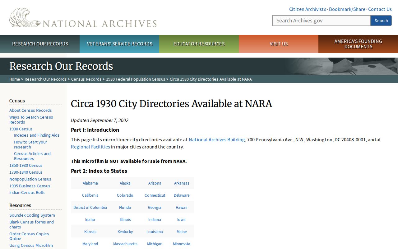
Use a directory's stated geography and year before drawing conclusions. A Pittsburgh postal label can be relevant to Ross, but it does not by itself prove township residence.
Ross Township Estates End a Household Trail
When a previous resident trail reaches a death or succession event, the Allegheny County Department of Court Records provides a narrow official path. Its Wills/Orphans' Court Division accepts a mail will-search form. The requester supplies the decedent's name and date of death, along with contact information, and sends a $10 money order. The nonrefundable fee includes a copy if a will is found. That result is a starting point for an estate question, not proof that every related filing exists or that no estate was opened.
Northland, Historic Pittsburgh partners, and Carnegie collections can also lead to newspapers or obituary material. An obituary can help identify a date, relative, or prior locality, but it should be confirmed through a vital-record, probate, cemetery, or other primary custodian. Pennsylvania's public genealogy windows are 105 years for births and 50 years for deaths; certified records remain controlled through the Department of Health genealogy route.
For a focused succession question, use the county's will-search form and instructions, then contact the Wills/Orphans division for the appropriate copy or file channel. Keep the scope limited to the named record and its stated access rules.
Ross Township Previous Residents Need Careful Limits
A parcel owner may have lived elsewhere. A directory may omit a household. A map may use an earlier road or municipality name. An address can also appear under a Pittsburgh postal label while still needing a Ross Township and county-parcel check. Those gaps are why previous residents research should retain conflicting results until the custodian or another dated record resolves them.
Lawful use. Ross Township house-history research is for family history, estate questions, civic curiosity, and record verification. Do not use a past-resident trail to contact, track, stalk, harass, or harm anyone.
For a township-held permit, archive item, or address-correction issue, contact Ross Township rather than treating county data as final. The township assigns or corrects addresses, while the county maintains the 911 dataset used by assessment and real-estate systems.
Note: Preserve each source date and historic label, because a missing result may reflect geography, cataloging, or incomplete digitization rather than an empty history.